We got up and out this morning. Both of us layered up ready to attack the road. We had about 6 hours of solid riding today with complete concentration. You could not trust that the road would be smooth, without gravel or potholes in any corner, or straightaway for that matter. It was an intense day that keep our eyes forward focused and engaged. The scenery was spectacular as it approached my front and peripheral view. The surrounding mountains were now lightly dusted with snow. The weather is changing quickly, and I am glad that we are now heading south!
We checked in at Whitehorse and warmed up. Kev and I were both worn out from the day of road focus and chilly weather.
It was our intent to ride the 436 kilometers to Watson Lake today, but my right wrist started to play up, so we ended up calling it a day in Teslin. I think that the last couple of days of riding vibrations from the bad roads have shaken it up a bit. Funny enough my left hand and thumb seem to be getting more and more flexible, and giving me less trouble. After 162 kilometers we pulled into a local roadside Service Station/RV Park/Motel/Restaurant/Museum in Teslin to fill up and ended up grabbing a room. When my throttle grip is compromised it is time to be sensible and rest up.
Riding across the Nistutlin Bay Bridge in Teslin was definitely nerve racking and not a favorite on my list. The bike wavered back and forth, almost like you were riding on ball barings. The bridge is 1917 feet long, I guess I should convert that to metric since we are riding in Canada…584 meters! It is the longest bridge on the Alaskan Highway. Another interesting fact is that the Alaskan Highway was originally built by the Engineers of the US Army as a WW II supply route. The highway is known for being a rough and challenging drive and it constantly under construction. The length of the highway runs 2,200 kilometers, 1,700 miles and has been straightened and rerouted in sections.
Our ride took us from the Yukon into British Columbia through the Continental Divide, then back into the Yukon. It was a drizzly and chilly ride in sections, but the amazing wooded and green mountainous countryside kept our spirits high. As we entered the Watson Lake we noticed an area called The Sign Post Forest. It was a perfect picture opportunity and a definite must stop.
Here is a little history….In 1942 while building the Alaska Higway it was common practice for the US Army of Engineers to put up a directional post at their camps. While working on the Alcan Highway near Lower Post, BC, Private Carl K. Lindley from Company D, 341st Army of Engineers was injured and taken to the Army Aid Station in Watson Lake to recuperate. During that time Carl’s commanding officer got him to repair and repaint the directional post. While Carl was carrying out this task he decided to add his home town sign of DANVILLE, ILLINOIS. Carl was known as the homesick, lonesome soldier and he was aware of the tradition that he started and what is now known as the World Famous Signpost Forest. Yeah…GO ARMY!!! The Sign Post Forest currently has over 72,000 signs! While we didn't have a fancy sign, I did have a RTWADV sticker that has now been placed in the forest. The weather was becoming worse and after talking to several locals about the road and animals ahead we decided have another early day and bunk down in some 1942 Historical Air Force Barracks

After reaching Kluane Lake the roads improved. The section from Beaver Creek to Deconstruction Bay was a bitch!

Roadside Service Station/RV Park/Motel/Restaurant/Museum in Teslin


Nistutlin Bay Bridge, Teslin Yukon, Canada

Crossing the Continental Divide near Swift River border of Yukon & British Columbia.

Sign Post Forest Watson Lake, Yukon Canada


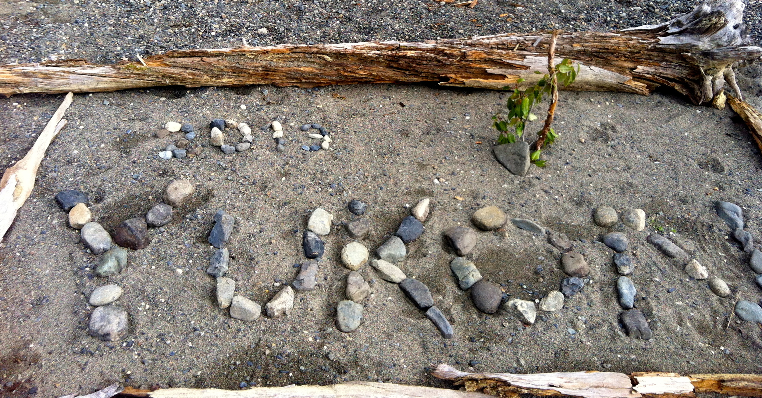
rtwadv sticker...the best I could do for now!

Historic Air Force Lodge....GO ARMY!, Beat Airforce!